Property Photography
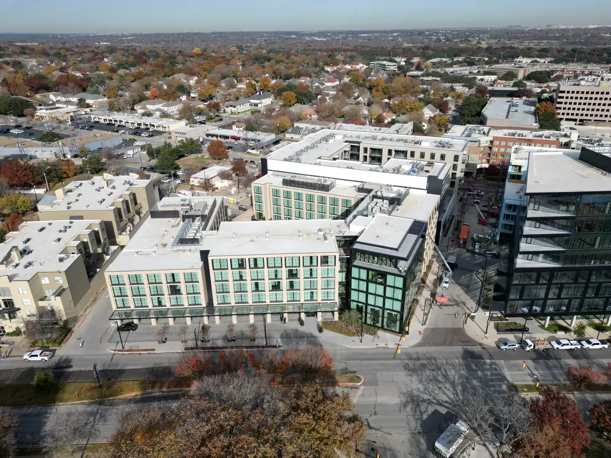
Wide, medium and detail views that explain the building, lot, parking, access and neighborhood context.
 Check Fort Worth Availability
FAA Part 107 · Dallas-Fort Worth
APS Drone creates edited aerial photos, 4K video, thermal imagery and repeatable progress documentation for Fort Worth properties and projects. Tell us the address, intended use and deadline; we will confirm the scope, airspace and availability.
Services built around the deliverable
Wide, medium and detail views that explain the building, lot, parking, access and neighborhood context.
Horizontal 4K footage and mobile-first vertical edits for websites, presentations, listings and social campaigns.
Repeatable wide and detail viewpoints organized by date for weekly, biweekly or monthly project records.
Overview and detail-oriented aerial images supplied for your roofer, adjuster or qualified professional to interpret.
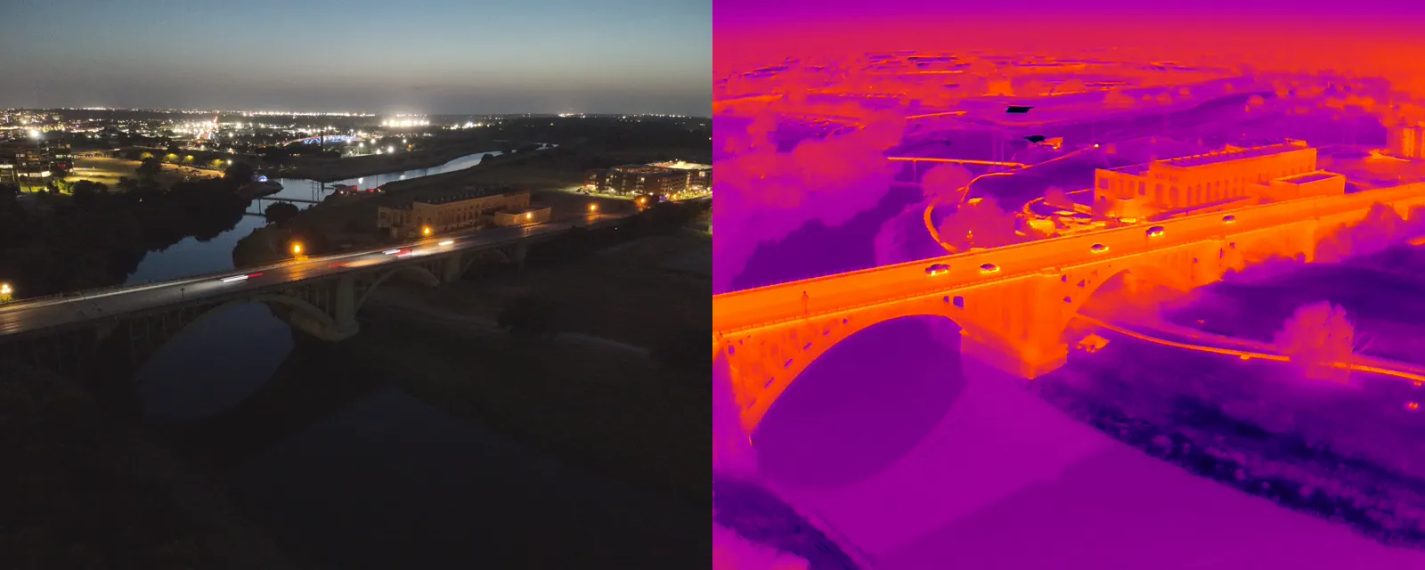
Matched visual and thermal files that help a qualified reviewer correlate a visible location with a heat pattern.
Dynamic interior/exterior sequences planned around the property, route, safety constraints and intended audience.
Real Fort Worth project evidence
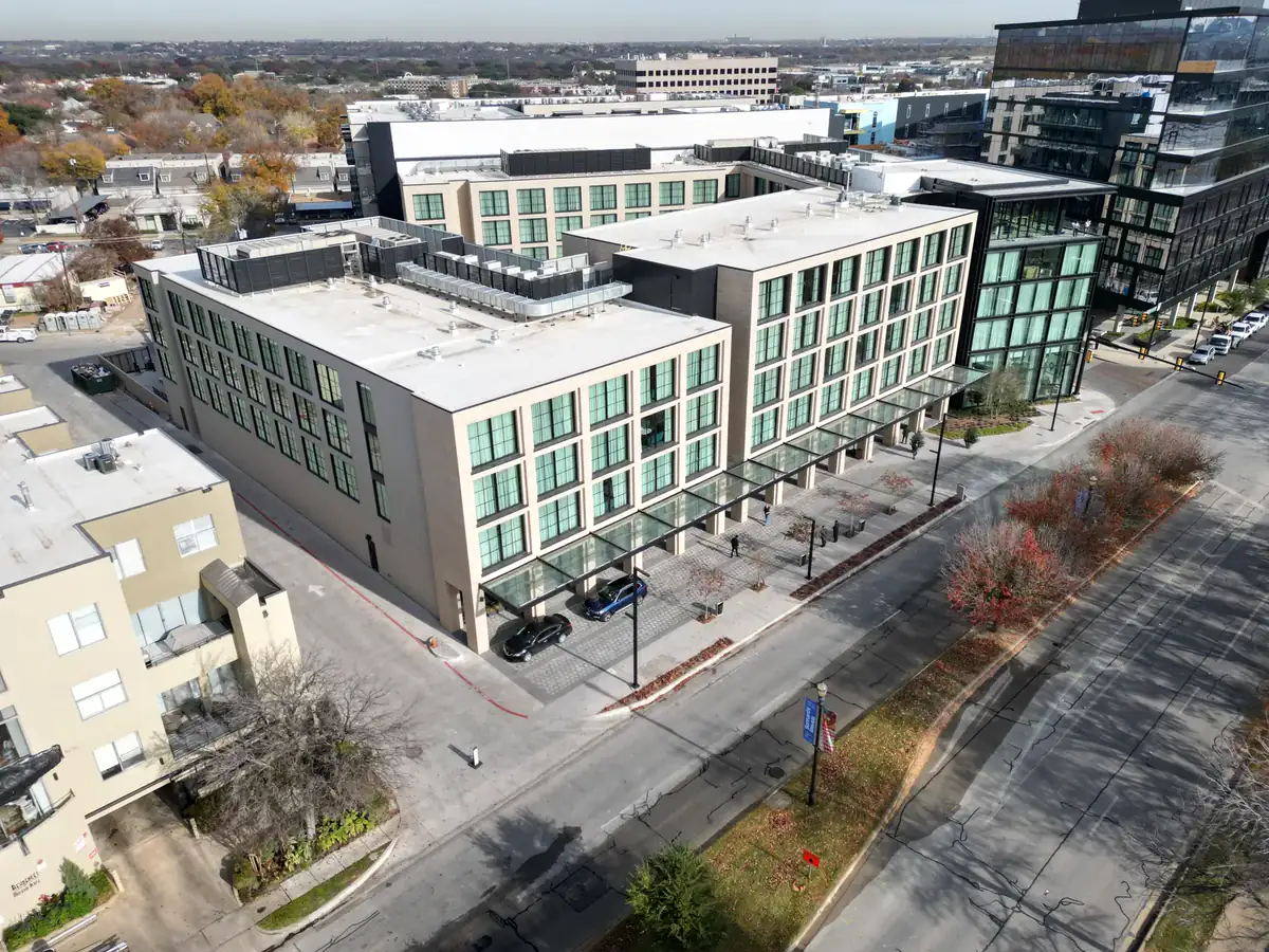
A useful aerial set does more than show a roof. It can place a building in relation to parking, access, nearby roads and surrounding development. We plan viewpoints around the business purpose, then deliver edited files in a clearly organized folder.
Visual + thermal documentation
When thermal capture is part of the scope, APS Drone can organize standard and thermal images from the same scene. This makes the location of a visible pattern easier to understand. Thermal imagery is documentation—not an engineering, roofing or damage diagnosis.
What to send for an accurate quote
Before the flight: we review the site and airspace, confirm feasible timing and clarify the deliverables. Operations remain subject to weather, airspace requirements, site access and safe flight conditions.
Fort Worth drone service FAQ
Edited aerial photographs, 4K video, vertical reels, visual roof documentation, thermal imaging and repeatable construction-progress captures are available.
Yes. APS Drone works with real estate professionals, builders, property managers, contractors and business owners, subject to site access, weather and airspace feasibility.
Typical edited-photo delivery is 24 to 48 hours after a completed flight. Video, thermal and larger documentation scopes are confirmed with the quote.
Yes. Weekly, biweekly and monthly progress plans can repeat agreed wide and detail viewpoints and organize the files by visit date.