
Matched viewpoints
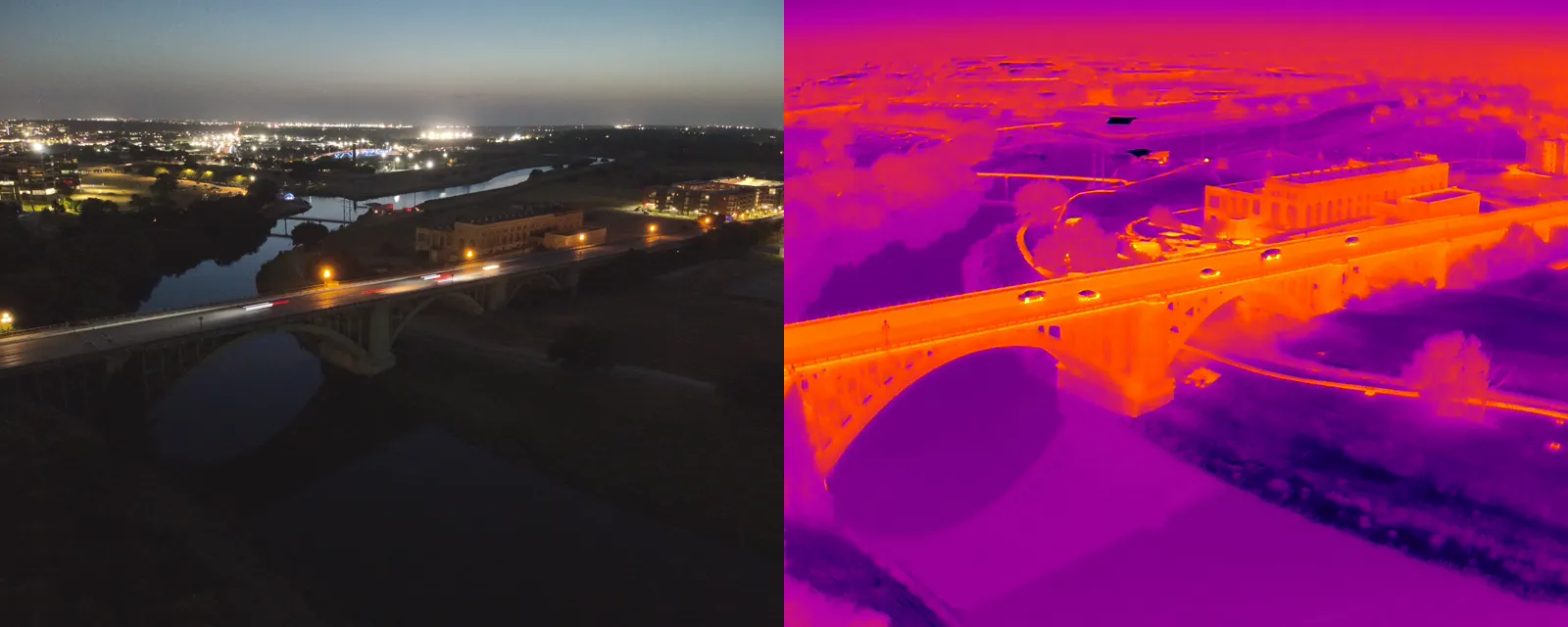
Visual and thermal views of the same area make location and context easier to compare.
Matched visual + thermal capture across Dallas-Fort Worth
APS Drone captures matched standard and thermal aerial imagery for roofs, solar assets and building documentation. Capture conditions and file requirements are scoped in advance, and interpretation remains with the client's qualified professional.
Visual and thermal views of the same area make location and context easier to compare.
Timing is coordinated around the inspection objective, weather, wind and solar-loading conditions.
Image sets and supported radiometric files are organized for the client's reviewer.
For visual-only roof coverage, see DFW drone roof documentation.
Scope can include matched JPEG visual and thermal images plus radiometric files when the camera, workflow and client review software support them.
No. Heat patterns can have multiple causes and must be evaluated with site conditions and other evidence by a qualified professional.
Dallas, Fort Worth, Arlington, Irving, Plano, Frisco and surrounding DFW communities, subject to airspace and site feasibility.