Location-verified work from Dallas-Fort Worth
DFW Drone Project Case Studies
These examples explain the purpose, capture approach and practical deliverables behind real APS Drone project types. Claims are limited to what the verified source media shows; client names, exact addresses and confidential project details are not published.
ArlingtonDallasFort WorthIrvingCommercialReal estateConstructionThermal
Case study 1 · Arlington
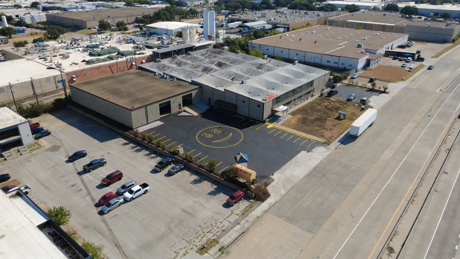
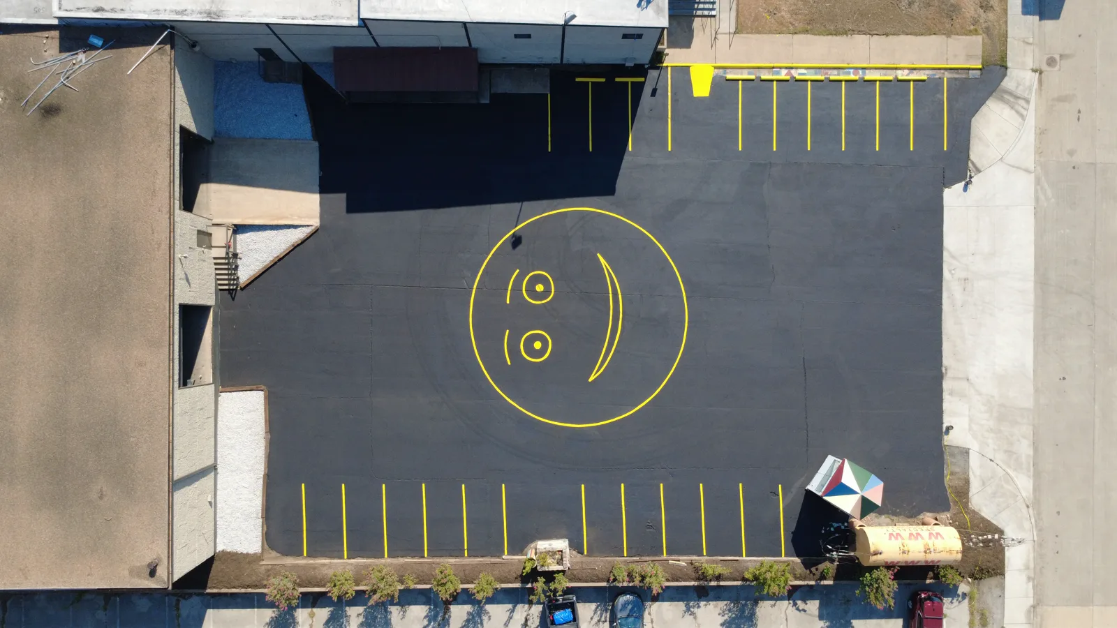
Industrial Property Aerial Photography
Project objective
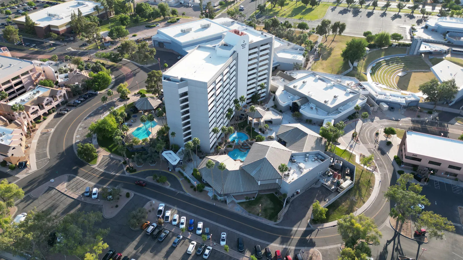
Create a concise aerial record of an Arlington industrial property while showing the building in relation to parking, access and its surrounding commercial context.
Capture and deliverables
Wide oblique, facade, roof-context and top-down detail views were delivered as edited high-resolution photographs. The exact address and customer identity are intentionally omitted.
Practical result: one organized image set can support property marketing, facilities documentation and planning conversations. See commercial drone photography and the DFW commercial project checklist.
Case study 2 · Dallas
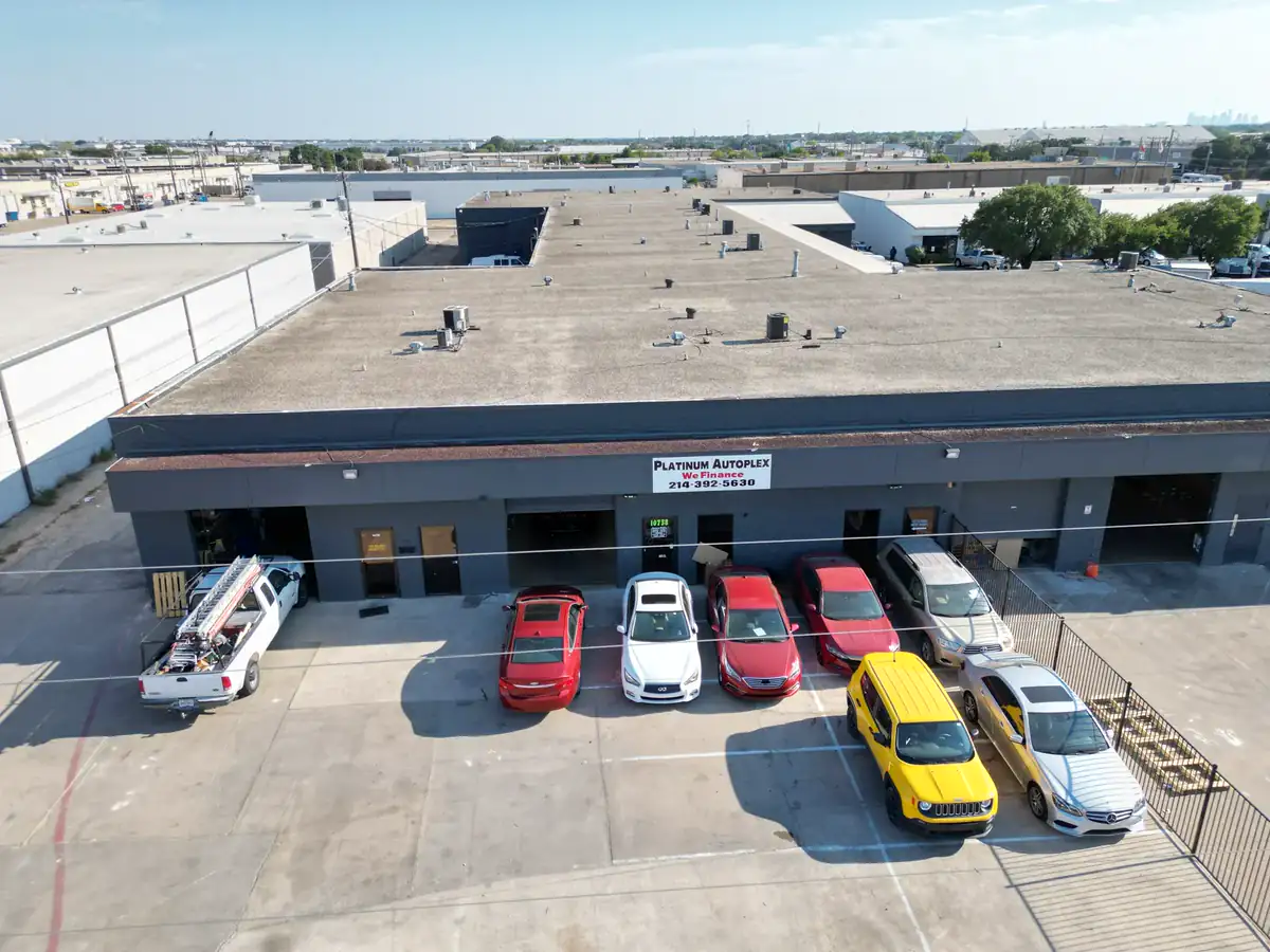
Commercial Property Context Photography
Project objective
Show the building together with access, parking, roof context and the surrounding commercial area.
Capture and deliverables
Wide and medium oblique aerial viewpoints were organized as edited property-marketing and documentation files.
Useful for: owners, brokers, leasing teams, investors and property managers. See DFW commercial drone photography.
Case study 3 · DFW workflow
Construction-Progress Baseline Documentation
Project objective
Establish clear baseline viewpoints that can be repeated on later visits for visual comparison of a commercial site.
Capture and deliverables
The first visit records agreed wide and detail viewpoints. Future weekly, biweekly or monthly visits can repeat those positions, with date-labeled files grouped by visit.
Transparent scope: the media shown here is a completed baseline capture, not a claimed multi-date time series. See recurring construction-progress plans.
Case study 4 · Fort Worth
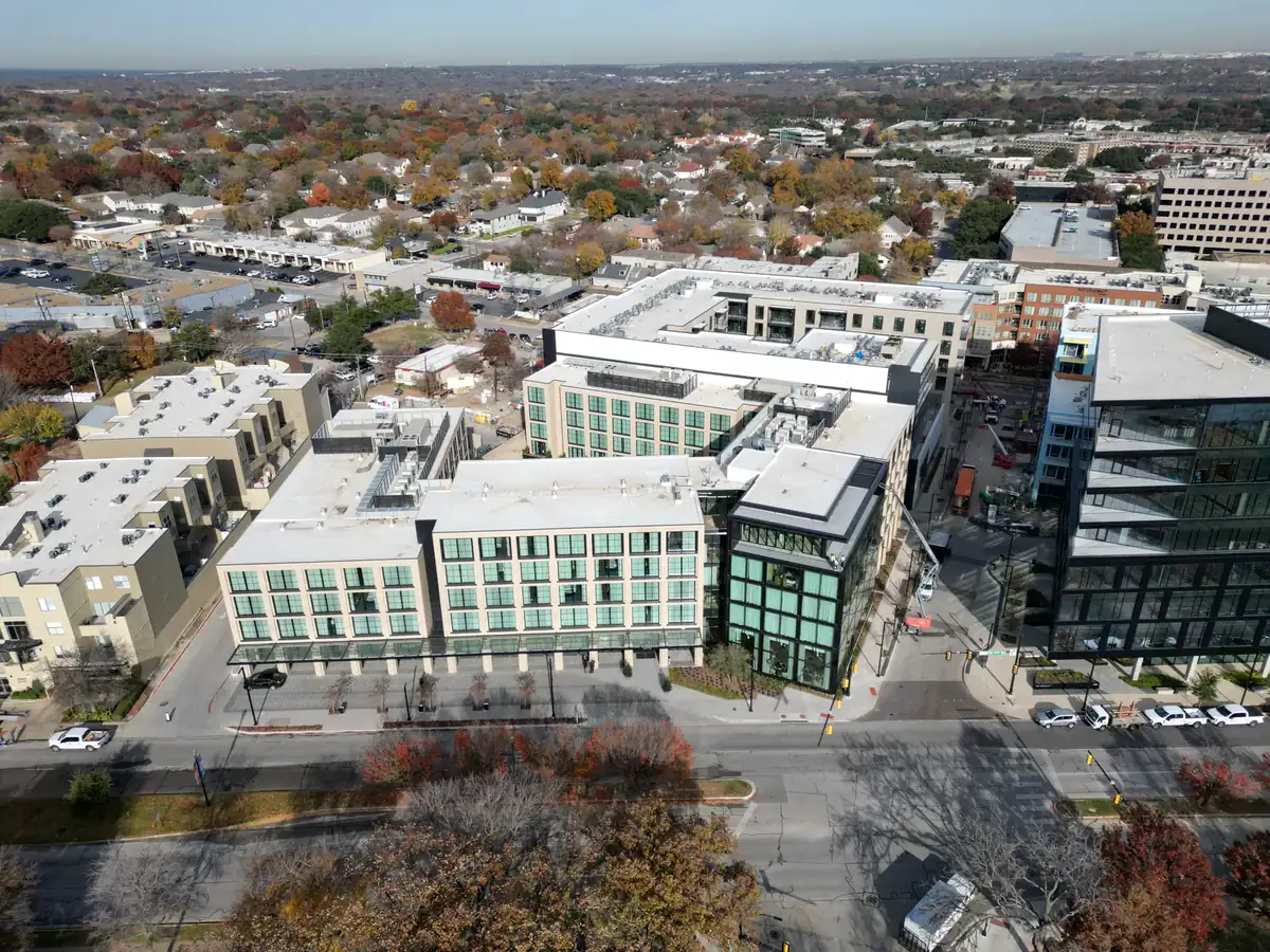
Property and Neighborhood Marketing Context
Project objective
Communicate the property, lot and nearby neighborhood in a single easy-to-understand view.
Capture and deliverables
Elevated context angles were framed for property marketing, presentations and web use.
Useful for: agents, builders, developers and property marketing teams. See DFW real estate packages.
Case study 5 · Real-estate media
Listing Photos and a Vertical Property Reel
Project objective
Give a property marketer both informative still images and a mobile-first video asset from the same aerial capture.
Capture and deliverables
The still set shows the property and neighborhood context; the vertical edit uses a 9:16 crop for Reels, Shorts and TikTok without exposing the customer or exact address.
Practical result: organized files are ready for listing pages, websites and social publishing. Watch the dedicated vertical reel example, compare the horizontal residential video or review photo and reel pricing.
Case study 6 · Irving
Visual Roof Documentation
Project objective
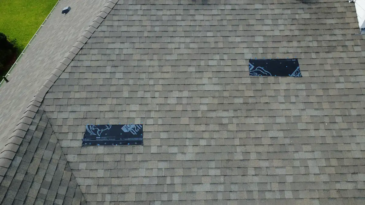
Create clear visual evidence of roof surfaces and exterior context without unnecessary roof access.
Capture and deliverables
Overview and detail-oriented aerial images were grouped for the client's qualified professional to review.
Important: APS Drone supplies capture data, not an engineering or damage diagnosis. See DFW roof documentation.
Case study 7 · Fort Worth
Matched Visual and Thermal Documentation
Project objective
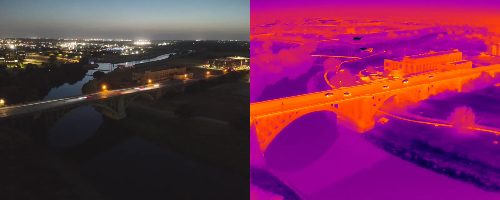
Let a reviewer correlate a visible asset location with a heat-pattern image from the same scene.
Capture and deliverables
Matched visual and thermal files were organized as documentation for qualified professional interpretation.
Important: a thermal pattern can have multiple causes; no diagnosis is implied. See DFW thermal imaging.
Plan a similar DFW project
Share the location, intended use, deadline and must-have views. APS Drone will review airspace, weather, access and safety before confirming the scope.